
Your place as a 3D printed map
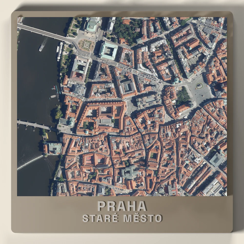
Left: Prague from the air. Right: the plate we print of the same ground.



At home
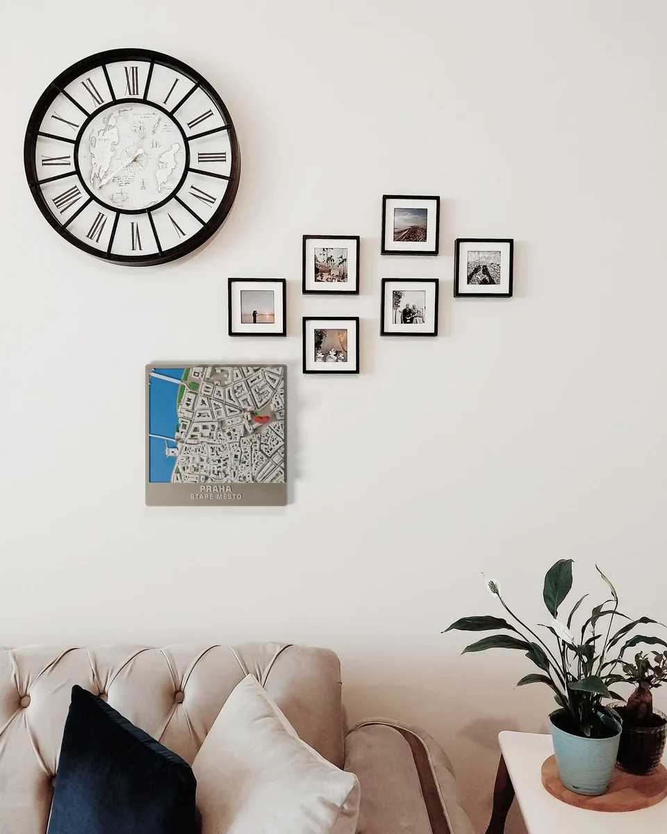
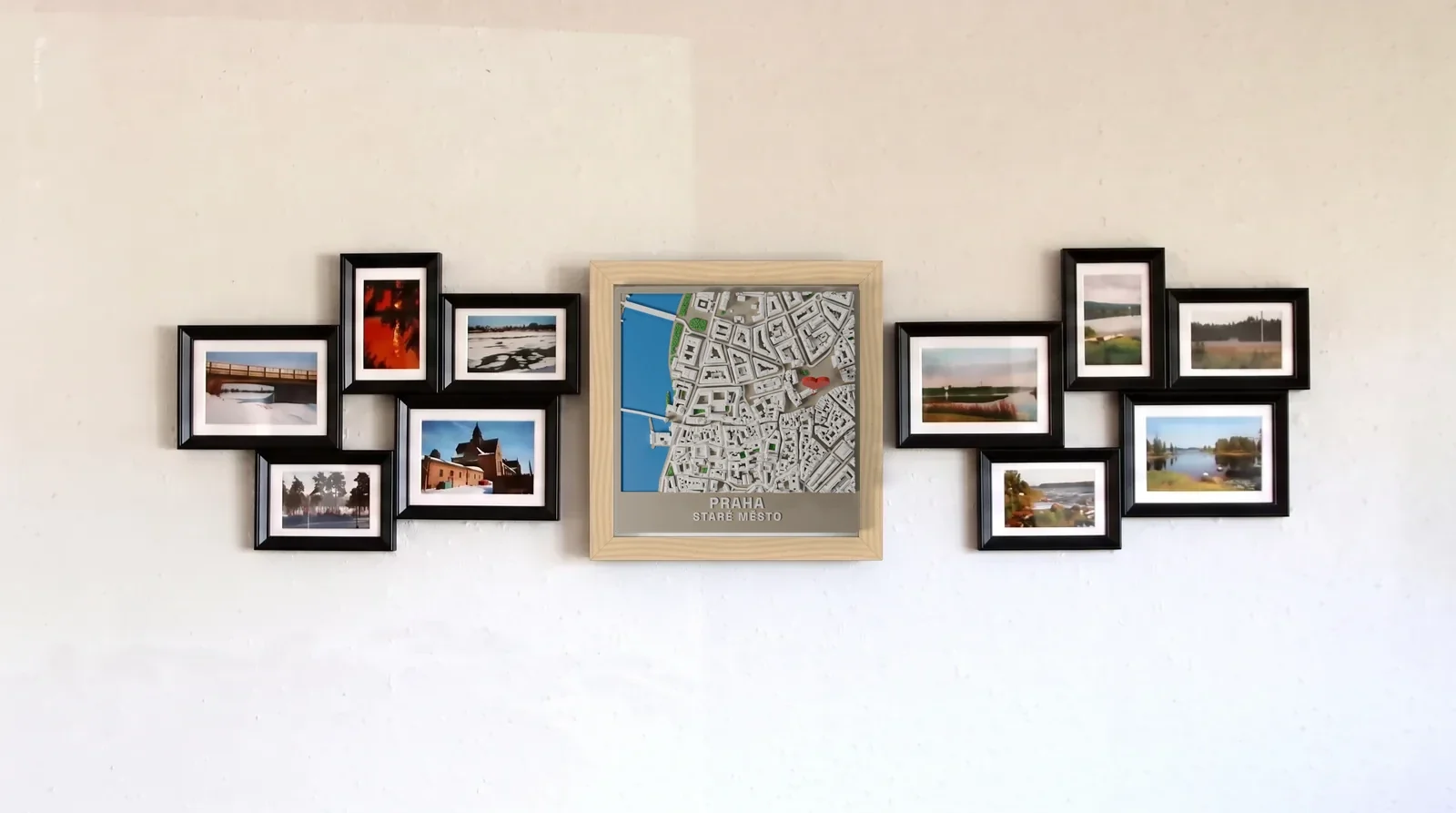
Our rendered plates set into photos. The real print can differ in details.
Questions
Is it a real 3D object?
Yes. The ground, streets, buildings and trees are raised in plastic, printed layer by layer.
Does it work for my town or mountain?
Yes, anywhere on the map. Prague has the measured shape of every roof. Elsewhere buildings are simpler shapes from open map data, with some heights estimated.
Can I mark a route or a building?
Yes. Add your hike, walk or run as a raised line, and up to three buildings in their own colour.
Where does the map data come from?
OpenStreetMap, open elevation data, open tree cover maps and Prague's official 3D city data. The satellite map only helps you choose the area. Full credits are at the bottom of the page.
How much does it cost and how fast is it?
10 cm 19 EUR, 14 cm 29 EUR, 18 cm 45 EUR. A route adds 6 EUR, marked buildings 5 EUR, names and the heart are included. Made and shipped within 7 days.
Can I return it?
Each plate is made to your own design, so it cannot be returned for a change of mind. If it arrives damaged, faulty or not as ordered, write to us within 14 days of delivery and we will remake it or refund you in full. This does not limit your statutory rights for defective goods, which last two years from delivery.